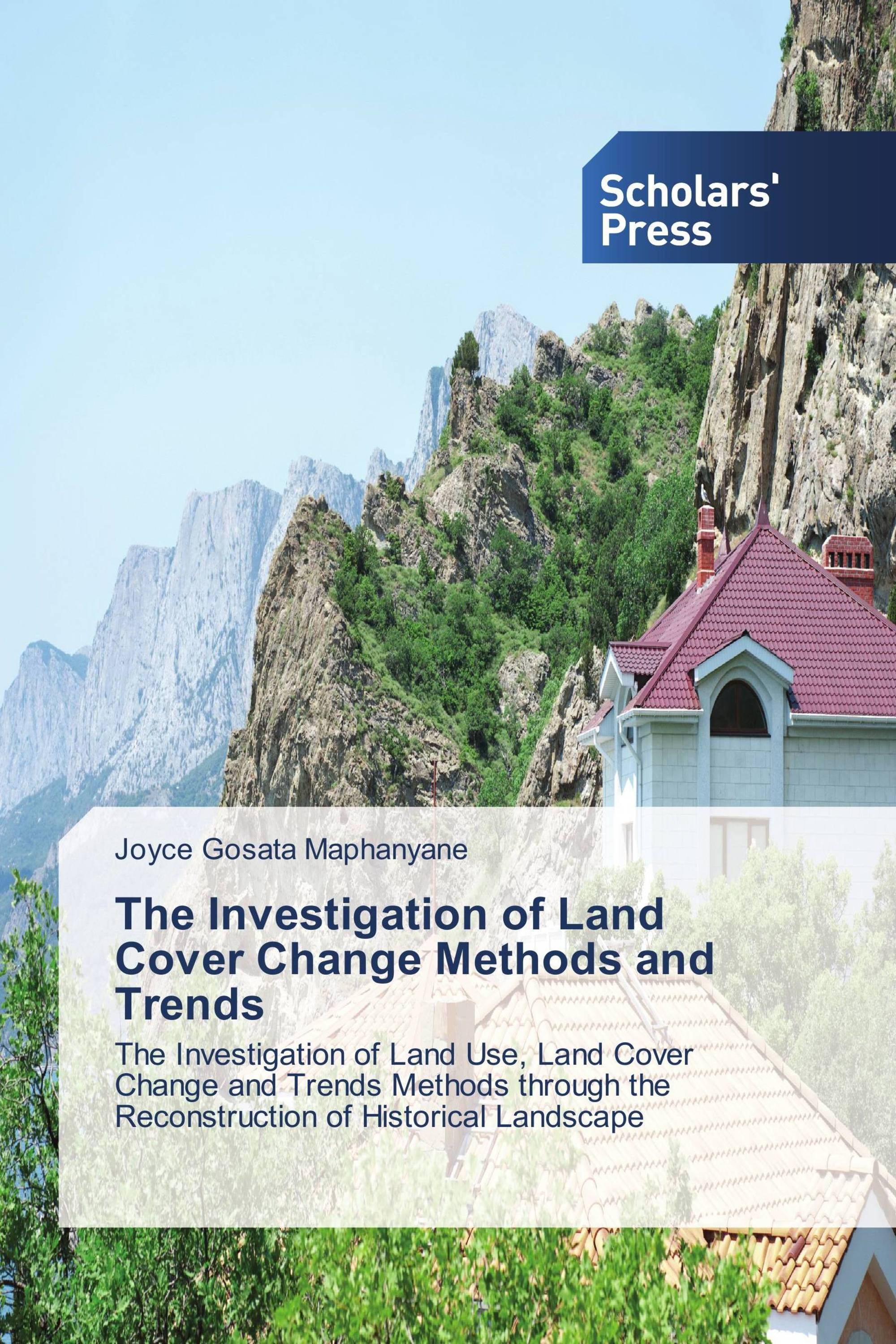
The Investigation of Land Cover Change Methods and Trends
The Investigation of Land Use, Land Cover Change and Trends Methods through the Reconstruction of Historical Landscape
€ 84,90
The work is presented on a new and novel method of Reconstruction of Historical Landscapes for the Investigation of Land Use, Land cover change and trends. It also discusses and accentuate the importance of land cover change thus the reasons it should be known. Remote sensing and (GIS) method was the only available method for the land cover change investigations up until this method. This modern techniques of remote sensing and GIS method is reviewed and its inadequacies established. Its major problem is that it has only been available since 1972 therefore for periods that spans more than 40 years there is no satellite data. Then, since land cover change is a slow process, it is necessary to access evidence about the land cover conditions of past eras, data from 40, 50, 60 years ago and beyond. So, it was imperative that a method was found that can be used to assess land cover change in the historical times. This research has sufficiently proved that the method of Reconstruction of Historical Landscape for the Investigation of land cover change can be applied to fill in the gap where modern technology is inadequate or unavailable.
Book Details: |
|
|
ISBN-13: |
978-3-639-66895-7 |
|
ISBN-10: |
3639668952 |
|
EAN: |
9783639668957 |
|
Book language: |
English |
|
By (author) : |
Joyce Gosata Maphanyane |
|
Number of pages: |
672 |
|
Published on: |
2016-09-30 |
|
Category: |
Geosciences |
